
How to sell lots in a country-club community before the land is developed
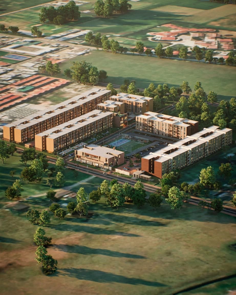
Selling a lot in a gated country-club community (a condominio campestre, as they are known in Colombia) has a difficulty of its own: buyers look at a pasture with survey stakes and have to imagine the roads, the gatehouse, the neighbors, the view and their house. If they cannot, they compare only the price per square meter, and in that comparison the cheapest lot almost always wins.
This guide explains what lot buyers need to see and how to show it before the infrastructure works begin.
Want to see this on your project? Book a free demo
What lot buyers look at
- The view: what can be seen from the lot and whether anything could block it in the future.
- The slope: how much earthwork it needs and whether the house sits above or below the road.
- The orientation: where the sun rises and where the wind comes from.
- The access: how far it is from the gatehouse, the clubhouse and the main road.
- The neighbors: which lots surround it and what can be built on them.
- The rules: maximum height, setbacks, lot coverage and permitted materials.
- The utilities: water, power, wastewater and internet.
Almost none of this shows on a subdivision plan. That is why so many buyers need several trips to the land before deciding, and why those who live far away rarely reserve.
How to show the land before it is developed
1. A 3D model of the real terrain
With the topographic survey, and ideally a drone flight, the terrain is built in 3D with its slopes, its trees and the surrounding landscape. The roads, the gatehouse, the amenities and every lot are placed on that terrain. Buyers see the finished community on the land as it exists today.
2. The view from each lot
In a real-time model the viewpoint can be placed on any lot, at second-floor height, to see what would be visible from the house. It is the question that matters most for a country lot and the one a general render answers least. We go deeper in how to show the view and the light before you build.
3. A sample house on each lot
Many buyers do not know what house fits on their lot or how a building sits on a slope. Placing a sample house that follows the community rules on each lot answers that question and helps sell the steeper lots, which look like a problem on a plan and can show off their best view in the model.
4. An interactive availability map
Instead of a site plan with "sold" stickers, a 3D map where each lot shows its status, area, price and view. The sales rep uses it in the sales room or on a video call, and buyers explore it from their phone.
The community rules, out in the open
Buying a lot also means buying into a set of rules: heights, setbacks, materials, fencing. Showing them during the sale, ideally with examples in the model, prevents misunderstandings when it is time to design the house. It is also a selling point: the rules protect the view and the value of every lot.
Selling to buyers who live far away
Many country lots are bought by people from the nearby city, from other cities or from abroad, looking for a second home or an investment. For them, several trips to the land are expensive. A 3D tour of the community and a video call with the sales rep let them get to know the land and choose a lot before traveling, so that the visit, when it comes, confirms the decision. See how to sell to an investor who will never visit the project.
What to prepare for the launch
- An up-to-date topographic survey and, if possible, a drone flight over the land.
- The approved subdivision plan, with the area and boundaries of each lot.
- The design of the roads, gatehouse, utility networks and amenities.
- The community bylaws with the building rules.
- One or two sample houses that follow those rules.
- The price list per lot, to load into the interactive map.
The same terrain model is useful before selling: it helps decide the subdivision and estimate the value of the property, as we explain in valuing a piece of land before you buy it.
At Inviewd we build the terrain and the project in 3D from the survey and the plans, so every lot can be explored with its real view. If you are about to launch a community, take a look at the digital twin.
Frequently asked questions
How do you sell a lot that has not been developed yet?
By showing how it will look: a 3D model of the real terrain with the roads, the gatehouse and the amenities, the view from each lot and a sample house that follows the community rules.
What information does a country lot buyer need?
The view, the slope, the orientation, the access, the neighbors, the community building rules and the availability of utilities.
Can the view from a lot be shown before construction?
Yes. With the terrain modeled in 3D from the topographic survey, you can see from each lot, at house height, what will be visible once the project is finished.
Does a 3D tour help sell lots to buyers in other cities?
Yes. It lets them get to know the land and choose a lot from their phone or on a video call with the sales rep, and save the visit to confirm the decision.
Ready to accelerate the sale of your project?
We build your project once in Unreal Engine, and the renders, video, 360° tours and interactive sales room all come from it, ready for any phone.
Request a demo